
GPS satellites transmit information in the form of radio waves to the GPS receiver held by the user. At the same time, the signals must also travel to at least one other ground-based receiver to obtain a location reference, which allows the user's receiver in turn to accurately calculate its own position in 3D.
Before the satellite signals reach the receivers, they must travel through atmosphere, which results in time delays that affect accuracy.
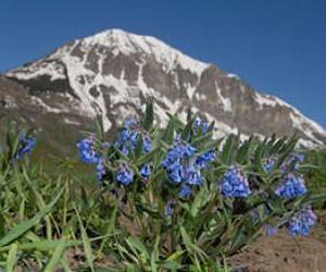
When the user's receiver and the reference receiver reside at drastically different altitudes, however, each location experiences different amounts of time delay, which complicates matters even further.
So, in mountainous regions where height differences can vary greatly over a short distance, acquiring the altitude of locations to within a few centimeters is difficult.
Researchers hope that the software, currently being developed, will help to improve the vertical accuracy of measurements in potentially hazardous regions at high altitudes, such as areas of soft, loose land that may be prone to landslides.
They also claim that their software could be used to measure how quickly glaciers at high altitudes are melting.


No comments:
Post a Comment